
Built Environment
Existing-condition surveys, renovations, façade capture and architectural coordination.
Discuss this sectorWe capture the built world with 3D laser scanning, turning complex sites into accurate, practical information for design, construction and asset management.
Explore how a real-world building becomes spatial data and a structured digital model. The same selected house is used across the visual stages.
Launch Reality Lab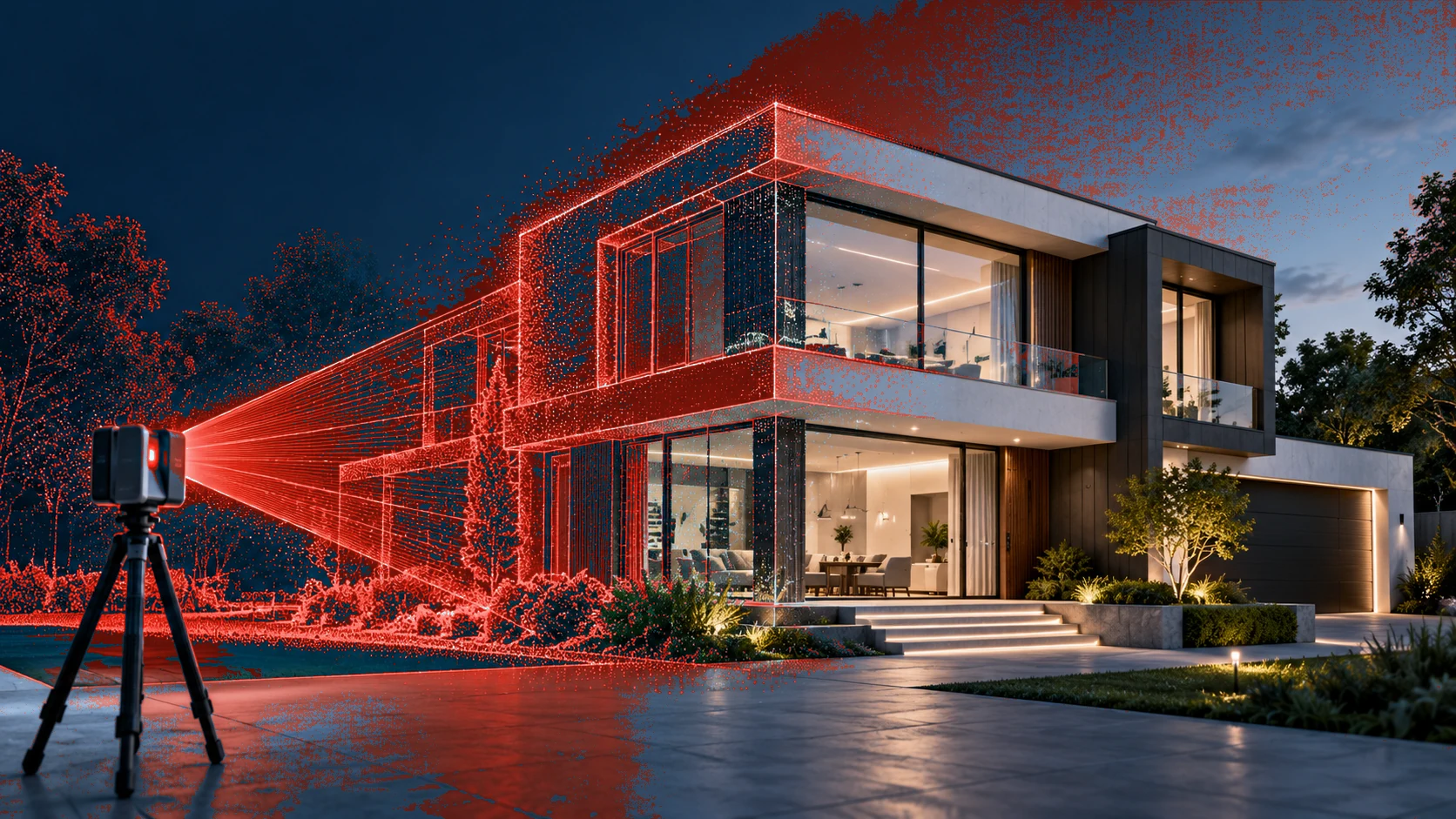
See the original physical space.
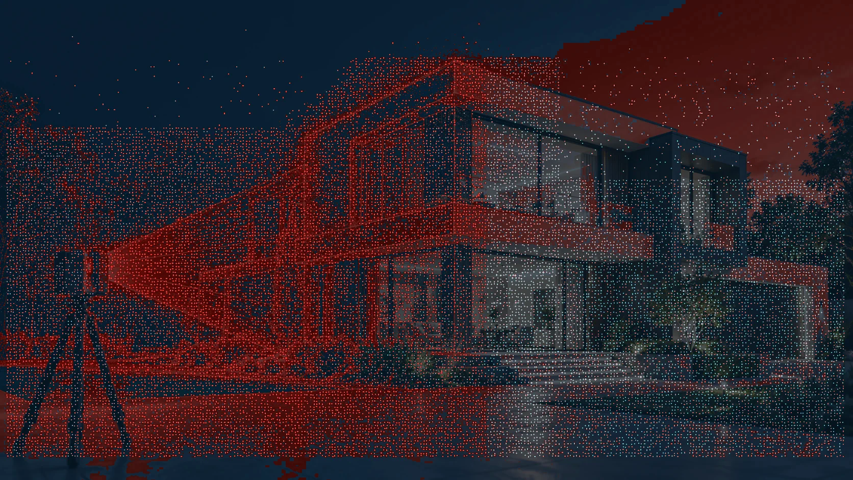
See the building as measured-style points.
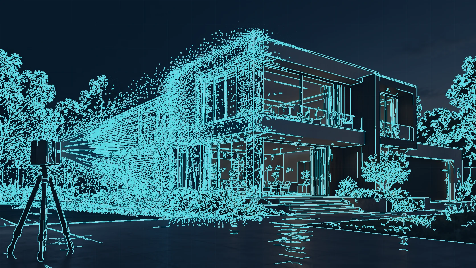
See reconstructed, organized geometry.
Illustrative concept visuals. The house imagery and transformations are not an actual measured scan.
Our integrated workflow helps teams move from site capture to engineering-ready digital information.
All servicesCapture complex spaces with high-definition terrestrial laser scanning.
Explore serviceTurn reality-capture data into coordinated, model-ready information.
Explore serviceClean, register and organize captured reality.
Explore serviceMake physical assets easier to understand and manage.
Explore serviceDocument existing conditions with engineering confidence.
Explore service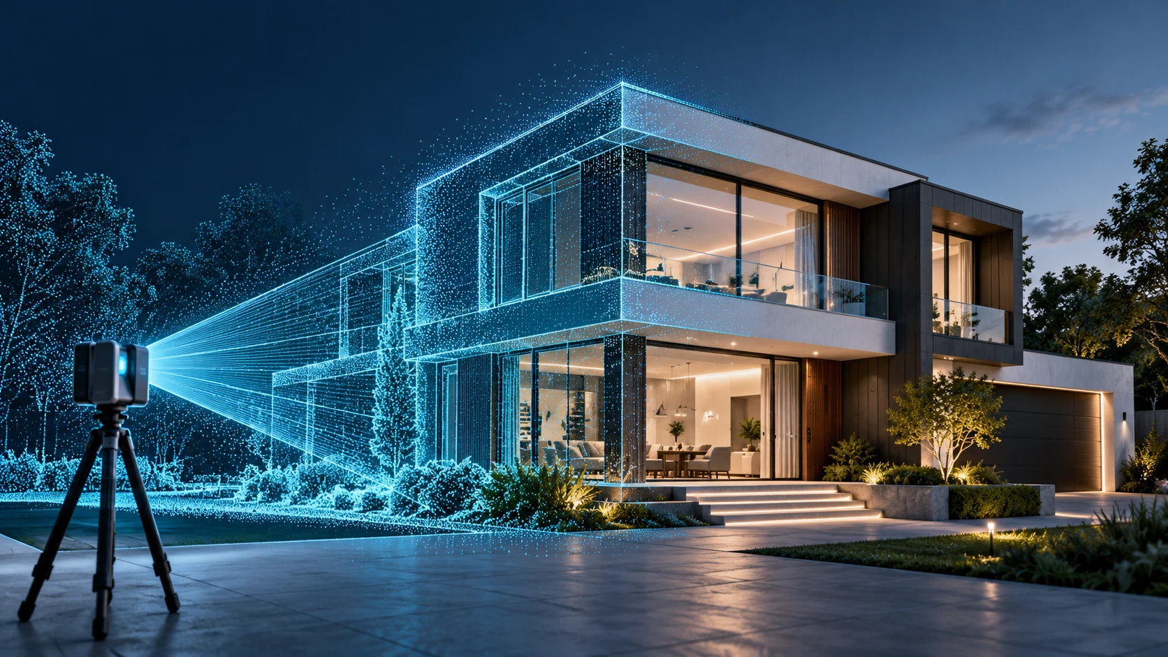
Capture the existing site once, then work with coordinated point clouds and models shaped around the questions you need to answer.
From buildings and facilities to the infrastructure that connects them.
View all industriesExisting-condition surveys, renovations, façade capture and architectural coordination.
Discuss this sectorComplex pipework, equipment spaces and brownfield modification planning.
Discuss this sectorCorridor reality capture, engineering interfaces and asset documentation.
Discuss this sectorEquipment layouts, installation surveys and spatial coordination.
Discuss this sectorEvery useful digital model begins with a capture plan, consistent processing and clear deliverable requirements.
See our processWe coordinate site access, capture positions and project control requirements.
Scan positions are registered, cleaned and checked against the project scope.
Required elements are interpreted into reviewable drawings or intelligent models.
Approved outputs and documentation are issued in agreed formats.
Understand the service before defining your project scope.
Ask our teamTypical scoped deliverables may include registered point clouds, CAD drawings, as-built documentation or BIM models. The actual formats and level of detail are agreed before work begins.
Red Link lists experience across industrial and complex environments. Site access, safety induction and any shutdown or permit requirements must be reviewed during scoping.
Red Link lists support for Revit, AutoCAD, Civil 3D and Navisworks workflows. Please specify required file formats and versions during your enquiry.
No. It is a synthetic sample house and illustrative visual transformation designed to explain the scanning process. No survey accuracy or genuine captured asset measurements are implied.
Quotations depend on site size, access constraints, required detail, deliverables, control requirements and delivery schedule. Request a scope-based quotation.
Red Link serves projects across India. Share your site location and schedule for confirmation of mobilization and availability.
Tell us about your site, objectives and required deliverables. We'll help define the right scope.