
From capture to impact.
Clear phases. Defined outputs. A connected journey from site reality to usable digital information.

Capture the conditions.
We coordinate site access, capture positions and project control requirements. The exact scope, required accuracy and deliverable level are defined with the project team.
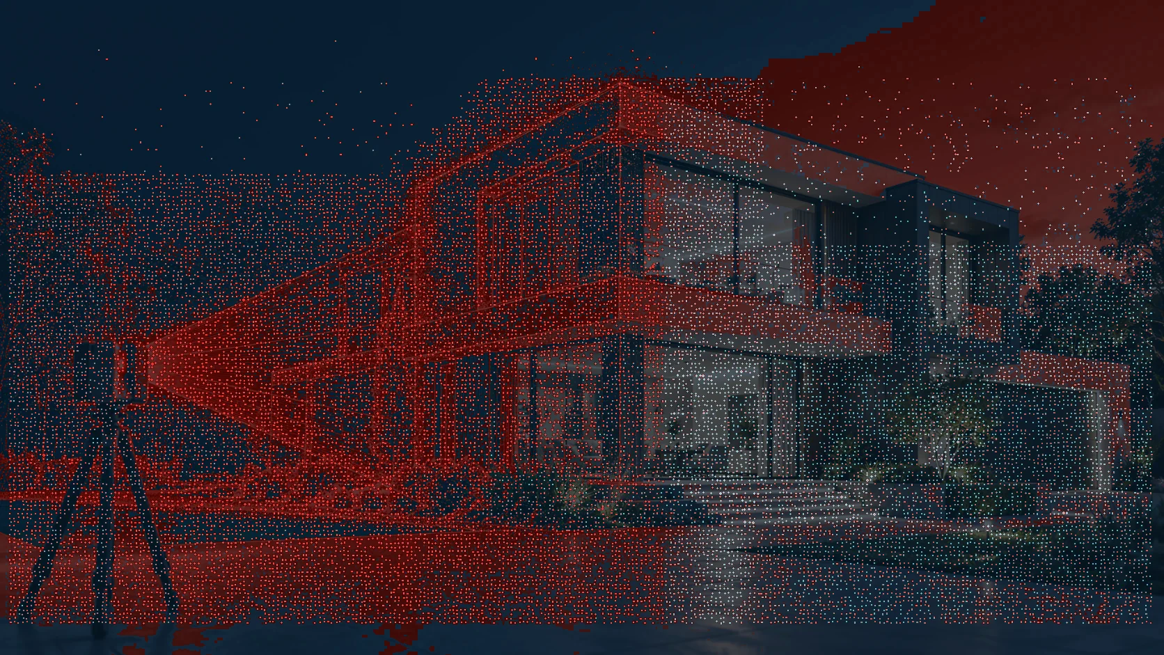
Bring every scan together.
Scan positions are registered, cleaned and checked against the project scope. The exact scope, required accuracy and deliverable level are defined with the project team.
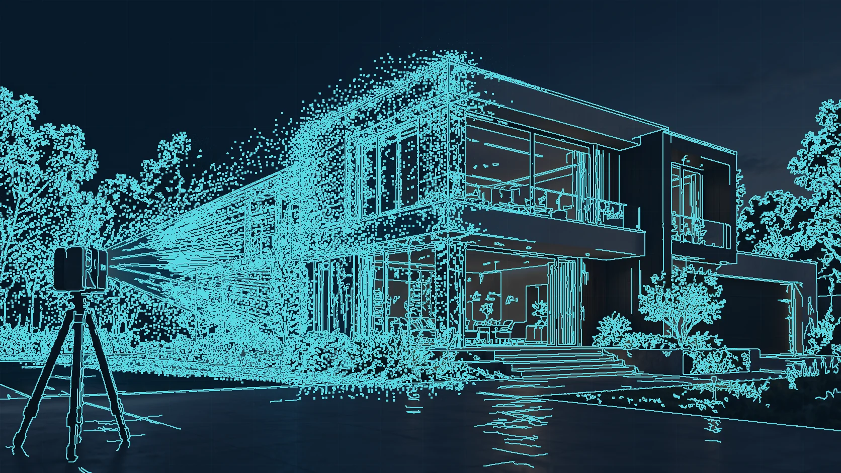
Convert complexity to clarity.
Required elements are interpreted into reviewable drawings or intelligent models. The exact scope, required accuracy and deliverable level are defined with the project team.

Put the data to work.
Approved outputs and documentation are issued in agreed formats. The exact scope, required accuracy and deliverable level are defined with the project team.
Designed for your workflow.
Share the files you use; we will help define the appropriate data handover.
Point clouds
Registered and organized spatial data.
Survey drawings
Dimensionally meaningful documentation.
BIM coordination
Model geometry that supports project review.
Handover packages
Documentation, file formats and quality checks as scoped.
Let's capture what matters.
Tell us about your site, objectives and required deliverables. We'll help define the right scope.