
Reality capture.
Real engineering value.
Integrated services to capture, interpret and deliver the existing built environment with precision.
Discuss your scope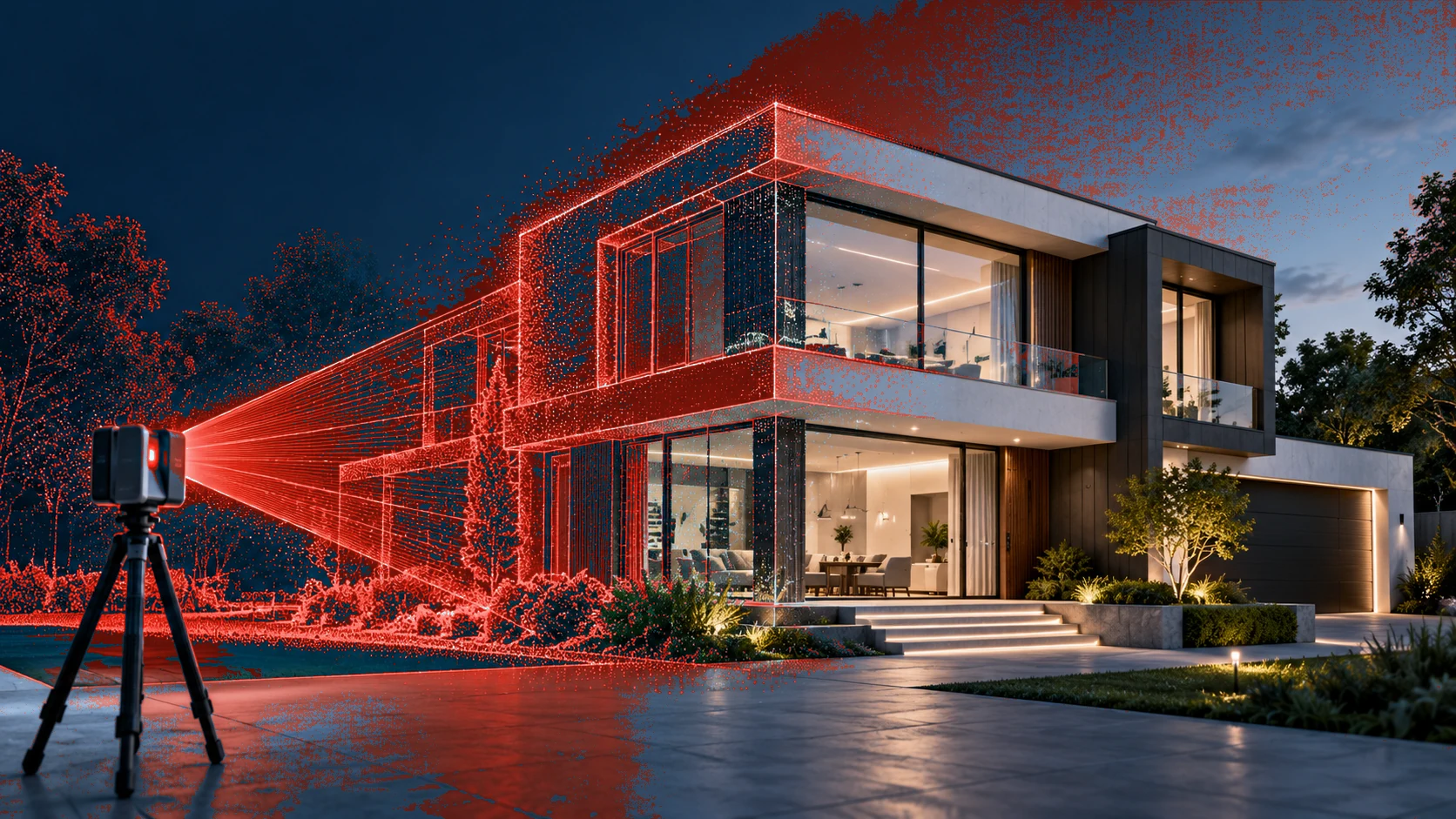
A connected service portfolio.
Choose the service that matches your site and outcome. Each solution has a dedicated detail page.
3D Laser Scanning
Capture complex spaces with high-definition terrestrial laser scanning.
Explore serviceScan-to-BIM
Turn reality-capture data into coordinated, model-ready information.
Explore servicePoint Cloud Processing
Clean, register and organize captured reality.
Explore serviceDigital Twin Solutions
Make physical assets easier to understand and manage.
Explore serviceAs-Built Documentation
Document existing conditions with engineering confidence.
Explore serviceMade for the next step.
Outputs and file formats are confirmed per project rather than assumed.
Registered point clouds
Structured survey data for visualization, measurement and modelling.
2D CAD packages
Plans, sections, elevations and engineering views to the agreed scope.
3D BIM models
Architectural, structural and MEP models for coordination workflows.
Visual asset context
Model-based spatial understanding for planning and facility reviews.
Let's capture what matters.
Tell us about your site, objectives and required deliverables. We'll help define the right scope.