
Point Cloud Processing.
Transform individual scanning positions into a unified, usable spatial dataset with registration and quality-control workflows.
Request a scope-based quote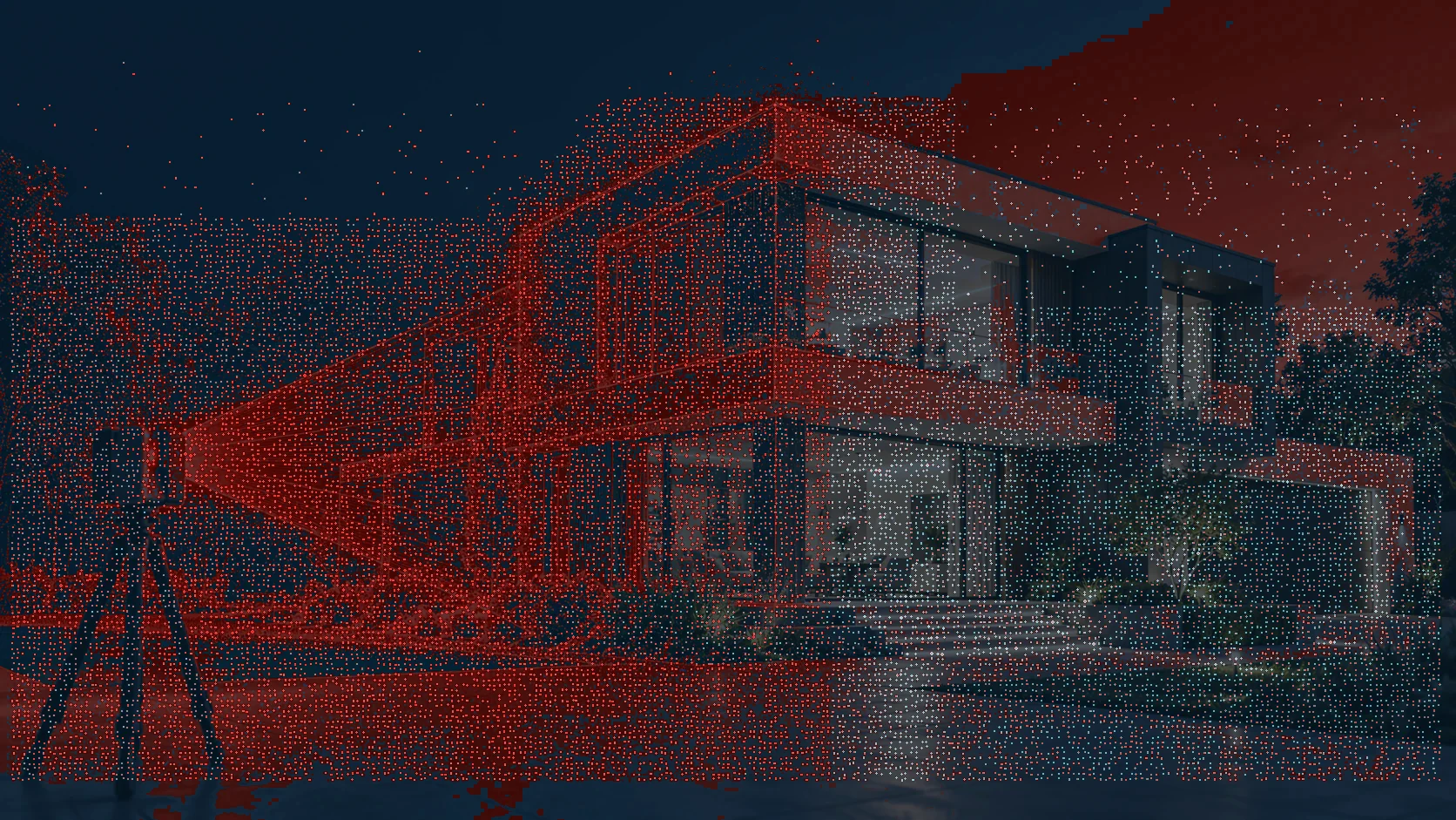
Move forward with
more confidence.
Transform individual scanning positions into a unified, usable spatial dataset with registration and quality-control workflows. Every scope is tailored to site constraints and the deliverables your team actually needs.
One connected workflow.
From site planning to the digital handover.
CAPTURE
We coordinate site access, capture positions and project control requirements.
REGISTER
Scan positions are registered, cleaned and checked against the project scope.
MODEL
Required elements are interpreted into reviewable drawings or intelligent models.
DELIVER
Approved outputs and documentation are issued in agreed formats.
Related reality solutions.
Let's capture what matters.
Tell us about your site, objectives and required deliverables. We'll help define the right scope.